About Us

Showing posts with label Hiking near Fort Collins. Show all posts

Thursday, September 9, 2010

Red Mountain Open Space

Red Mountain has been on my "to do" list for a while. Last night we had started out to get up there, but a storm rolled in just after we left Fort Collins, so we decided to try again later. This morning the skies were clear, so we drove up to see if Red Mountain was worth visiting. The drive to the trailhead goes through a pretty little valley/canyon. Off to one side was the old homestead of a settler long since gone.

We had the parking lot to ourselves, and started out for a hike. The north side of the Bent Rock Trail looked the most intriguing. A small stream ran down the bottom of a small canyon that began to cliff up.


The cliffs rose higher as we got further into the canyon, revealing the layers in the rock. It was really pretty. (sorry about the bad pictures, the sun was not in the most friendly location for pictures)

We weren't the only ones that liked the area. A few swallows had built their homes in nooks of the cliffs.
After the small canyon, the hiking turned into high desert hiking. The rabbitbrush was in bloom, but I found most of the remaining hike uninteresting. We turned north and looped back down the Sunset Trail back to the parking lot.

Nearest City: Waverly, CO
GPS Coordinates (trailhead): N 40° 57.483 W 105° 09.830
Time Needed: A few hours
Difficulty: easy
Kid Friendly: Yes
Additional Info: Red Mountain Open Space No Dogs Allowed. Restrooms are at the trailhead. Bring your own water.

Friday, August 6, 2010

Backpacking in the Snowy Range

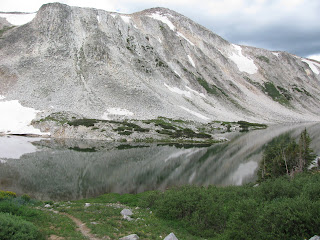
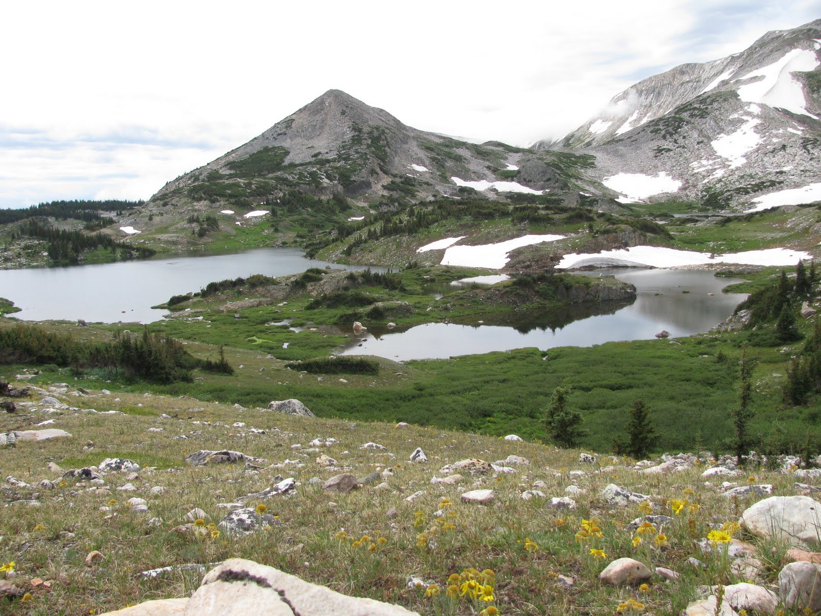
We took a short backpacking trip in the Snowy Range on the Gap Lake Trail. The trail starts at the Lewis Lake TH and heads north over the gap and into a basin with several lakes in it. The trip can be as long or short as you want it to be. We made it over the gap, then detoured up to the Shelf Lakes.

I had heard that there were golden trout in the Shelf Lakes, and planned to try and catch at least one.
Unfortunately, I didn't see any or catch any. I tried everything, but there just didn't seem to be any golden trout in there. If they're there, they are few and far between. I had much better success with the cutthroat trout, although fishing was best early and late and they didn't bite much mid-day.
We hiked to a few other lakes in the area. Plenty of fish were rising, but I didn't bring my pole with me on the hike.
It was fun just roaming through the forest and looking around.
The wildflowers were beautiful though. Everywhere was full of wildflowers, but the areas along the streams and near lakes were the most colorful.
After staying overnight, we hiked back out the next day. The Shelf Lakes were beautiful though!
On the way out, we looked across North Gap Lake at Medicine Bow Peak. We wanted to try the peak, but it seemed like storms were moving in.
As we decended from the gap, we could see several lakes and Sugarloaf Mountain near the trailhead. The Snowy Range is definitely beautiful. The further in you get, the less people you see.
Nearest City: Centennial, WY
GPS Coordinates: N 41° 21.510 W 106° 17.678
Time Needed: Several hours if just hiking, several days if backpacking
Difficulty: Moderate
Kid Friendly: Yes- within reason
Additional Info:

Monday, August 2, 2010

Zimmerman Lake Backpacking

We took off Friday for a short backpacking trip to Zimmerman Lake. Zimmerman Lake is up Poudre Canyon almost to the top of Cameron Pass. It took us nearly an hour and a half to drive to the trailhead from Fort Collins. It was raining when we arrived at the trailhead, so we waited in the car for the rain to pass.

Fortunately, the time wasn't wasted. We saw a female moose browsing on a hillside across the highway from the trailhead.
We set out, and were amazed at the many beautiful wildflowers and mushrooms.

The clouds parted shortly after we arrived at the lake to set up camp. The hike in is along an old logging road and is only a mile. Campsites are available on the west and east sides of the lake.

There are also several lumber piles in the area- remnants from logging back in the day. We saw one along the road, and 2-3 more to the east of the lake.

The lake was really pretty about sundown when the breeze stopped and it got glassy. We could hear splashes from several greenback cutthroat trout jumping.

We enjoyed dinner and sat around the fire before we we retired to our tent for the night.
The next morning, we hiked to the top of the ridge southeast of camp (two pictures back). There isn't a trail, so we bushwhacked our way to the top. The views were incredible!

We wandered back down the mountain, enjoying the beauty of the many wildflowers as we hiked.

As we hiked down the road to the trailhead, we talked about how lucky we were to have avoided any serious rain. What a great short backpacking trip!
Nearest City: Laporte, Co
GPS Coordinates: N 40° 32.345 W 105° 52.935
Time Needed: 2 hours roundtrip, including time at the lake
Difficulty: Easy
Kid Friendly: Yes
Additional Info: The trail is an old logging road. Bring your fishing pole and try to catch greenback cutthroat trout in the lake. Restrooms are available at the trailhead.

Monday, July 26, 2010

Crown Peak & Crown Point

Saturday we bagged a few peaks up Poudre Canyon. We started at the Browns Lake Trailhead and climbed Crown Point and Crown Peak. The trailhead is 12 miles up the Crown Point Road, which is 4 miles up the Pingree Park Road from the main highway. It's a good dirt road and easily accessible with low clearance vehicles. The trailhead has space for about 20 cars, and we were surprised at how full it was when we got there.
The trail goes to Browns Lake, but there are two peaks which are slightly off trail. You can see a lower summit of Crown Point from the parking lot, but the higher peak is slightly further. The trail passes within a couple hundred yards of it. We had lunch at the peak.
Our original destination was just Crown Point, but then we checked the time, and decided to go on to Crown Peak since we weren't in a rush to get back to Fort Collins.

We're glad we pressed on. We hiked back down to the trail, then followed it and crossed the wilderness boundary to the Comanche Peak Wilderness as we decended into a small valley. From the top of the other side, we could see Crown Peak again, so we left the trail again to hike cross country to the peak. There's not a trail to the peak, so you just go wherever.


About 1/4 mile from the peak, we watched as a horse came over the rise. The horse had a halter, but nothing else. Apparently someone lost a horse up here and it found itself at home above timberline on the high tundra. The horse walked to within 50 yards of us, and continued on down the slope.

We continued on to the peak. We summited out at 11,711 feet. It was fun to enjoy the summit and look all around at the amazing views.
After about 10 minutes of resting at the summit, we turned around and headed back down the mountain.

We hiked about 5 miles and gained about 1500 feet in elevation in about 4 hours. It was a great little hike.

Nearest City: Laporte, Co
GPS Coordinates: N 40° 38.990 W 105° 41.894
Time Needed: 4 hours
Difficulty: Moderate
Kid Friendly: Doable with kids. It may take additional effort on your part though.
Additional Info: After we made it back, I heard that there is a crash site of an old bomber in the vicinity of Crown Peak. You may want to find additional information and go check it out.

Friday, July 16, 2010

Climbing and Rappelling at Duncans Ridge

Duncan's Ridge is a popular climbing area near Fort Collins, overloooking Horsetooth Reservoir. Although there are numerous bouldering areas nearby, Duncan's Ridge is the closest and easiest access for those who want to toprope.


There are several routes that have been bolted up top. I counted 3 while doing a quick check.


Park at: N 40* 32.085 W 105* 08.560
Cross the street then follow the trail up the hill.
Climb at: approximately N 40* 32.000 W 105* 08.685
Nearest City:
GPS Coordinates:
Time Needed:
Difficulty:
Kid Friendly:
Additional Info:

Friday, March 19, 2010

The Cabin at Bobcat Ridge

Yesterday we went out to Bobcat Ridge Natural Area. I think Bobcat Ridge is one of the best natural areas in Fort Collins. There are hiking, biking, and equestrian trails, as well as an old farm. We didn't spend much time at the old farm, but took a hike to an old cabin.


The hike to the cabin was about 2.5 miles round trip on what I call an easy trail. The cabin was originally built in 1917, but recently has had some major maintenance performed. There is a new roof put on and the log walls have been re-chinked.

The old well is nearby, just to the northwest of the cabin.
Out behind the cabin is a bunch of old farm machinery. I had to take a bunch of pictures here too.


I really liked this lever on an old planter that adjusted how much seed was planted according to the type of seed and the density the farmer wanted it.
Nearest City: Masonville, CO
GPS Coordinates:
Time Needed:
Difficulty:
Kid Friendly:
Additional Info:

Monday, March 8, 2010

The Lindenmeier Fossil Site at Soapstone Prairie Natural Area

Saturday was another adventure day. Shortly after we moved to Fort Collins, we went to the Fort Collins Museum. One of the exhibits there was on the Lindenmeier Fossil Site. Back in the 1920's there was an archeological dig near the Colorado/Wyoming border that excavated the site of a prehistoric village. In addition to several Folsom points (a kind of stone arrowhead), beads, etc, the most astonishing find from the site was a prehistoric bison bone with one of the points imbedded in it. The site was excavated by the Smithsonian Institution, as well as the Denver Museum of Nature and Science. Most of the artifacts are owned by the two museums, but I'm unsure whether they are on display or not. Some of the artifacts though are at the Fort Collins Museum.

After hearing about it, I thought it would be pretty cool to go check it out. The site is currently owned by the City of Fort Collins Natural Areas program. It is closed December through February, so with it opening again in March, we took the drive up there.

It's about a 30 mile drive due north of Fort Collins. There is a pavilion with signs telling about the site, but unfortunately you can't get close enough to see any of the excavations or anything. The picture below is from the pavilion, out toward the wash where the excavations were. I was pretty disappointed that we couldn't go walk around down there.

The drive up did have a few cool moments though. There were several flocks of blue birds. We didn't have enough camera zoom to get a great picture, but this one works. After talking with one of our ecologist friends, we're pretty sure they are mountain bluebirds.

Once we made it to the natural area, we drove over a hill and a herd of pronghorn antelope were laying in the grass and pretty close for pronghorn. We stopped the car and took a few pictures. They were uneasy with us, so they all stood up and ran away.

There are several hiking trails in the natural area, so we went for a hike on one of them. The Towhee Loop is about 3 miles. It goes up a small canyon, along a ridge, then down another canyon.
The views were pretty cool, but it was rather windy.
Near the bottom, there is an old windmill, along with some remnants from the farm that used to be here.

There are several longer trails for mountain biking that looked pretty cool, but that's for another day.

Nearest City:
GPS Coordinates:
Time Needed:
Difficulty:
Kid Friendly:
Additional Info: