About Us

Showing posts with label hiking. Show all posts

Sunday, September 27, 2015

Tallgrass Prairie National Preserve

We left Chase County Fishing Lake, stopped in the cute little town of Cottonwood Falls, then continued up the Flint Hills Scenic Byway to Tallgrass Prairie.  The heart of the location is the old ranch, with headquarters on site.  They have  hikes and a ranger-driven bus ride as options that you can do.  We missed the bus tour because of a discrepancy between the time posted on the website and times posted at the visitor center.
We went on a short hike out among the prairie grasses.  The NPS only owns 35 acres of the preserve, with the Nature Conservancy owning the difference.  I heard 10,000 acres as a number, but I'm not sure how accurate that is.  Lets just say it's a lot of land and wide open sky out here.
The Flint Hills are prime grazing land.  The shallow soil isn't good for farming, which led to much of the prairie grass not being plowed under and replanted in corn or soybeans like much of eastern Kansas is.
Lots of grass out here.  If you miss the bus tour like we did, your only option is to explore on foot.  They do have a pasture with a buffalo herd that the bus tour drives through the middle of (the pasture, not necessarily the herd).  The bus fills up fast, at least the weekend we were here.  We were surprised how many people were out here. Like anywhere else, call ahead for your best options.

Nearest City: Strong City,KS
Location: 2 miles north of Strong City
Time Needed: varies
Difficulty: easy
Kid Friendly:
Additional Info:

Frogs and Waterfalls at Chase County Fishing Lake

We took a camping trip out to the Flint Hills on Friday.  My wife wanted to visit Tallgrass Prairie, and the nearest free camping was at Chase County Fishing Lake. We left after work on Friday, and pulled in to camp after dark.  We missed the exit from the toll road at Emporia (there's only one exit at Emporia, so if you missed it you're hosed), so we were pretty much stuck for the next 30 miles.  We arrived after dark, and since this weekend is a full moon, I found a place with plenty of tree cover to set up camp under.
In the morning, I took the kids down to the lake to let my wife sleep in a little bit, but also to look for frogs.  There were frogs all over the place.  I grabbed our nets and the kids had a grand morning wading in the mud and netting leopard frogs.
We finally went back to camp to cook breakfast.  As we were finishing up, a passel of cars pulled up and parked.  A few ladies got out, wandered over to the bank and proceeded to pull out their easels and painting supplies.  I guess there was a Flint Hills artists competition, so artsy folks were all over the place making paintings.  While I was picking up camp, the kids watched the painters paint.  
We drove down to the dam, parked, then hiked over to the south side. There's a series of waterfalls just below the dam.  Since it's late in the year, the falls were small, but they are supposed to be very picturesque when more water is flowing.
On the way back across the dam, the kids ran right by this red-eared slider.  I called them back and they all enjoyed looking at it.

Nearest City: Cottonwood Falls, KS
Location: 2 miles west of Cottonwood Falls
Time Needed: varies
Difficulty: varies
Kid Friendly: yes
Additional Info:

Monday, September 21, 2015

Pewits Nest, A Wisconsin Slot Canyon

I'm a fan of slot canyons, wherever they may be, so when I planned our trip to Wisconsin, I put Pewits Nest on the list.  We arrived on a Monday evening and took the last spot in the parking lot.  The parking area is big enough for only about a dozen cars, and judging from how full it was on an off time, and from all of the "No Parking" signs along the road, it's a popular place to visit on evenings and summer weekends.  I'm glad we visited early in the week and avoided the zoo that it must be on weekends.  We parked, then walked not even a quarter mile south to Skillet Creek.  Just before the creek, the trail starts to branch and braid, so we picked one and shortly thereafter were dipping our toes in the water at the end of the gorge.
The slot canyon doesn't get too narrow, but does have several waterfalls in it, with amazing swimming pools throughout.  A few adventurous souls walk out along narrow ledges above one of the pools before cliff jumping into the water below, even though it is prohibited and you could get ticketed for doing so.
We walked played in the pool below last waterfall, then walked along the top of the gorge up to the beginning of the narrows.  We climbed down, then played and splashed in Skillet Creek and walked along the top of some of the waterfalls.  It's a beautiful spot!  We splashed and played and had a great time until we started getting hungry.  We should have brought a picnic with us, but went in to Baraboo for dinner.


Nearest City: Baraboo, WI
Location: From the intersection of U.S. Highway 12 and County W in southwest Baraboo, go west and south on W 1.5 miles to a small parking area south of the road.
Time Needed: varies
Difficulty: easy
Kid Friendly: varies
Additional Info: Pewits Nest Natural Area Website

Effigy Mounds: The Sny Magill Unit

Somewhere at Effigy Mounds, I saw something about a detached unit with more mounds, so I asked about it.  They said that I was probably wondering about the Sny Magill unit, which has the largest concentration of mounds.  Yup- that's it!  They had a paper with an outline of the mounds at the Sny Magill unit, as well as directions on how to get there.  I was interested, so we carved out some time to seek it out.
The Sny Magill unit has over 100 mounds, all located close to each other.  It's on the flood plain of the Mississippi River, about 10 miles south of the main section of the park.  There are mostly conical mounds, but also bird and bear mounds.  This page of the NPS website has a little bit about it.  I was wondering who this Sny Magill guy was, and if he had donated the land to the NPS or why there was the separate unit to the park.  It turns out that Sny is another word for slough, and Magill was a Scottish indian trader who lived in the area.  So even though his name was Donald, Sny was not his nickname.  Sny Magill, Magill's Slough, same difference!  There's a creek with trout in it, as well as access to the river all named after the old trader.
We parked at the boat launch/ river access, crossed through a gate, and came to the first of the mounds in a couple hundred yards.  The area is mowed down, but it goes quite a ways off to the north.  We didn't stay long because in late June the mosquitoes were pretty bad.  It's definitely worth a visit though if you like places that are a little untrammeled and quiet.

Nearest City: McGregor, Iowa
Location: South of McGregor on County Road X56 a couple of miles.  When the road crosses a small creek (Sny Magill Creek), turn east and park at the parking lot to the boat launch.  Go through the gate to the north.
Time Needed: 30+ minutes
Difficulty: easy, finding it is the hardest part
Kid Friendly: meh
Additional Info:

Effigy Mounds National Monument

We spent a morning at Effigy Mounds National Monument.  It's a pretty park, located along the bluffs of the Mississippi River in the Driftless area of northeast Iowa.  I do have to say that I think the northeast corner is the most pretty part of Iowa.  The monument was formed to protect a large concentration of effigy mounds created by mound builders several hundred years ago.  Some mounds are round, others are linear, but the most fascinating mounds of all are the effigy mounds- ones shaped like bears, birds, or other animals.  
Before we arrived, my expectation was that the mounds would be outlined in lime or whitewash to help make them easier to identify.  I was disappointed that they weren't.  It can be difficult to see the mounds, since they are only 2-3 feet taller then the surrounding area.  In fact, it is amazing that they were discovered in the first place!  That said, the park protects a large collection of mounds.  Probably 90% of the mounds out there have been destroyed, many by farmers just plowing up their fields and not realizing that there was a mound there.  
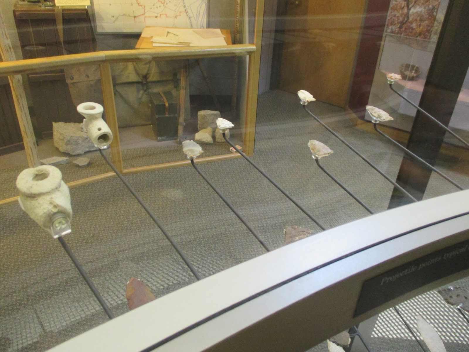
We hiked up to Fire Point and had a great viewpoint of the Mississippi River, and passed several mounds along the way.  There were lots of round mounds, a few columnar mounds, and we saw the Great Bear and Little Bear mounds too.  Some of the mounds have been excavated, while many haven't.  The museum at the visitor center has several artifacts that were found in and around some of the mounds.
I liked the visit, but if you want to see mounds be prepared to hike to see them.


Nearest City: Harpers Ferry, Iowa
Location: 151 Hwy 76, Harpers Ferry, Iowa
Time Needed: 1/2 day
Difficulty: moderate- difficult (hiking, with elevation and distance variables)
Kid Friendly: yes
Additional Info: Effigy Mounds National Monument

Wednesday, July 29, 2015

Wyalusing State Park: Caves, Raspberries, and Indian Burial Mounds

I took the week of the 4th of July off from work. We decided a few months before to go to Wisconsin and Minnesota for our big summer trip.  We originally had planned to drive up I-35 through Minnesota, visit Lake Superior, then work our way down through Wisconsin on the way home.  About 10 days before the trip though, a good friend called up and made a pretty convincing case to do the trip the other way.  He and his new bride were going to be in Minnesota for the 4th, and if we were there for the last weekend of our trip instead of the first, we'd be able to meet up.  So, we flipped the trip around and spent the first day driving diagonally across Iowa.  I do have to say, Northeast Iowa is beautiful.  It's known as the Driftless Area because it was not covered by glaciers in the last ice age, and as such it was not ground flat by all of the ice.  Instead, it's full of canyons and large bluffs, especially along the Mississippi River.  
We wanted to visit Effigy Mounds National Monument, but since the monument doesn't have camping facilities, we stayed at Wyalusing State Park, across the river in Wisconsin.  It was a fortuitous choice.  After visiting Effigy Mounds and Wyalusing, if given the chance again, I'd spend more time at Wyalusing.  We nabbed one of two remaining campsites in the campground when we arrived.  Although it's a developed campground, many of the sites have thick brush undergrowth isolating them from the neighboring sites.  Fireflies were flickering as we set up camp and piled in, exhausted from hours of driving.
Wyalusing means "home of the warrior" in Lenape, a native language.  I personally think the park is misnamed, since the indians regarded the confluence of the Wisconsin and Mississippi Rivers, located just below the park, as neutral ground that was for trading and peaceful talks instead of a battleground.  European explorers came through the area, beginning with the famous expedition of Marquette and Jolliet in 1673.  Jacques Marquette, a Jesuit priest, and  Louis Jolliet, a French-Canadian explorer, left on their journey, which took them across Wisconsin from Green Bay, up the Fox River, then down the Wisconsin River to the Mississippi River.  They were the first Europeans to explore the upper Mississippi River- traveling  nearly to the Gulf of Mexico before returning.   They passed through here on June 17, 1673- approximately one month into their four month journey.
We had our own explorations to make.  We went to look at some indian mounds.  There are several mounds in the park.  We stopped and walked around some bear effigy mounds.  There are also mounds shaped like deer, birds, and turtles in the park.  The mounds are really subtle- just a low 2-3 foot difference in height from the surrounding land.  I was walking around the bear mound, trying to figure out where the head was when a shout from the kids stopped me.  They had noticed some black raspberries just off of the edge of the mowed lawn.   We enjoyed nature's abundance and ate our fill of the delicious berries.  The next morning we found some more and ate them with our pancakes.
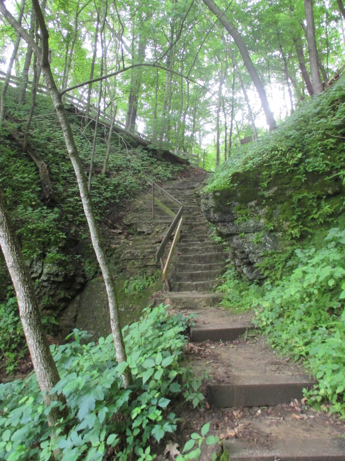
We took a short hike to see Treasure Cave.  The cave is down on the side of the hill, and the trail passes through an arch along the way.  The kids noticed lots of small frogs along the trail, so we stopped and picked a few up to look at them closer before continuing on.  There are stairs down to below the cave, then a steep climb up some stair/ladders to get to it.  Up we went.  
The cave was about 25 feet deep and had a nice blast of cold air coming from it.  I crawled down the tunnel to a small room that had been dug out by earlier visitors.  The room was a dead end.  I turned around and nearly back at the entrance noticed the airflow pick back up.  It came from the side of the tunnel, blowing from a crack about 2 inches wide.  Judging from the air flow, there's got to be a pretty decent cave system in there, but it's not accessible from Treasure Cave.  
We enjoyed several other walks and especially the overlook of the Mississippi and Wisconsin Rivers. One of the evenings we were there we took the kids down to the showers.  A hot shower when camping is a nice luxury.  The kids screamed and yelled and had a great time playing.  I had a few good conversations with other campers as they remembered camping trips with their children.  Wyalusing was a great beginning to our Wisconsin vacation.

Nearest City: Prairie du Chien, WI
Location:  13081 State Park Ln, Bagley, WI  53801
Time Needed: 4 hours, minimum
Difficulty: easy
Kid Friendly: yes
Additional Info: Wyalusing State Park Website.  The campground has hot showers.

Tuesday, July 28, 2015

An Easy Walk to Angel Falls

We found another enjoyable trail to walk and bike.  The Angel Falls Trail is in Lansing, Kansas and leads to a small waterfall on Sevenmile Creek.  Usually we just park at the Catholic Church that is on the corner and follow the trail down.  Lansing City has been doing some trail improvements and now there's a paved walkway that goes from Ida Street all the way past the falls and out to Mary Street. 
Angel Falls only drops about 3 feet or so where Sevenmile Creek crosses a ledge of harder bedrock.  There are fossil shells and crinoid stems in the rocks if you're interested in fossils as well.  We left the trail and made our way down to the waterfall to splash and play in the creek.  We've gone to Angel Falls a couple of times since it's a walk that's the perfect length for kids to do.  In May and June there are a few mulberry trees that grow along the trail, so we picked and ate a few mulberries.  I do have to admit that whenever I eat mulberries, I think of the nursery rhyme and start looking for a monkey and a weasel. 
Nearest City: Lansing, KS
Location: Trail begins off of Ida Street and 147th Street
Time Needed: 45 minutes
Difficulty: easy
Kid Friendly: yes
Additional Info:

Monday, July 27, 2015

The Weston Bluffs Trail at Weston Bend State Park

In Mid-May we had a free Saturday morning.  Some friends had told us about a fantastic trail at Weston Bend State Park that was good for hiking as well as kids on bikes, so we headed over to Weston.  Our friends planned on meeting us if they could break away as well.  We drove through downtown Weston and parked on Market Street about a block east of the lower end of Main Street.  It's a weird trailhead, but parking is limited right where the trail begins.  We unloaded the kids' bikes and headed south on Welt Street.  After a block or two, the road turned into a nice paved trail sandwiched between the bluffs of Weston Bend State Park on the east, and the Missouri River on the west. 
We had a great time racing down the trail.  The kids would slow down as they rode up small inclines, then raced down again on the other side.  We went for about a mile/mile and a half until the paved trail intersected with a service road from the main part of Weston Bend State Park.  Shortly after that, the pavement gave way to dirt, and since it had rained earlier in the day, we opted to turn around rather then bike in the mud. 
Along the way we saw two toads, countless snails, and lots of cicadas.  One of our little bikers was determined to rescue every snail he could and picked them off of the trail and threw them into the bushes.  We finally had to set a limit on the number of snails he could remove, or we'd never have made it back.   Lewis and Clark went through here a couple hundred years ago, and there is the occasional sign along the way that gives you an opportunity to stop and read a little about the local history.
It was a great little trail.  We even had a few trains go by on the tracks just below the trail.  Each time the kids stopped their bikes and ran over to the edge to see if they could count the cars on the train.  Don't let the confusing signage at the trailhead discourage you.  This trail is a local favorite.  I guarantee you'll see others out on it. 


Nearest City: Weston, MO
Location: Park at Market St & Welt Street.  Head south & slightly east on Welt.
Time Needed: 2 hours
Difficulty: easy
Kid Friendly: yes
Additional Info: Platte County Parks Department  Includes a trail map.

Sunday, July 26, 2015

Weekend trip to Adam-ondi-ahman

In mid-May we took an overnight trip to Adam-ondi-ahman.  Friday after work, we drove up to the Holmes Bend Access near Gallatin, Missouri.  Missouri has a fantastic network of conservation areas, some of which have primitive camping areas.  We put this one to use, since it seemed to be the closest camping area to Adam-ondi-ahman.  As I was pitching our tent and getting camp set up, one of the kids found a night crawler.  He ran around excited about the big worm until it started crawling up his sleeve, at which point he panicked.  We carefully extracted the worm from his sleeve and he was more than willing to let it go crawl back with its family.  After I finished preparing our campsite, we walked over to a nearby marshy pond to look for frogs.  We saw a few but didn't catch any.  We then walked down the dirt road to look at the river access.  While we were walking back, there started to be small flashes of light in the bushes and undergrowth.  Fireflies!  It was finally warm enough for them to come out!  We watched the fireflies as they flickered in the darkening twilight then crawled in our tent to sleep. 
In the morning, we went to Adam-ondi-ahman, a Mormon history site  nearby. 
 It's a quiet mixture of fields and woodlands.  It's a spot where "Three years before he died, Adam called his righteous posterity into this valley and bestowed on them his last blessing (D&C 107:53–56). In 1838 Adam-ondi-Ahman was the location of a settlement of between 500 and 1,000 Latter-day Saints. The Saints abandoned this settlement when they were expelled from Missouri. Before Christ’s Second Coming in glory, Adam and his righteous posterity, which includes Saints of all dispensations, will again assemble in this valley to meet with the Savior (Dan. 7:9–10, 13–14; D&C 27; 107:53–57; 116)."
We went for a short walk and drove around the area as well.  There's really not much to see other than a few overlooks and a spot or two to get out and walk.

Nearest City: Jameson, MO
Location: Along Highway 13 between Jameson and Gallatin
Time Needed: 1 hour
Difficulty: easy
Kid Friendly:
Additional Info:

Saturday, July 25, 2015

The Springfield Nature Center

A quick stop at the Springfield Nature Center would be the last stop of our Southern Missouri /Arkansas road trip.  The kids enjoyed running around and looking at the fish and the cave exhibit.  We saw a turkey outside one of the windows near a bird feeder  as well, but they absolutely loved playing with the stuffed animals in an exhibit on animal habitat.  There was a "hollow log" a hole in a dead (fiberglass) tree, and several nooks and crannies that stuffed animals could be stuffed into.  I'm sure my kids put each of the animals into every spot it would fit!  We pried them away and went for a hike town to Lake Springfield.  There's a boardwalk trail near a marshy area and the littlest one fell over the edge when he tried to sit down a little too close to the edge.  He got a little mud on him and fell a foot or two, but otherwise was no worse for the wear once we cheered him up.  It's a pretty funny memory looking back at it.  We stopped for dinner and could tell the kids were done, so we drove home afterward.  It was a good trip.

Nearest City: Springfield, MO
Location: 4600 S Chrisman Avenue, Springfield, MO
Time Needed: 1 hour
Difficulty: easy
Kid Friendly: yes
Additional Info: Missouri Conservation Areas

Friday, July 24, 2015

Having a great time at the Buffalo National River

After leaving Little Rock late, we drove north for the Buffalo River.  In Marshall, we turned off Highway 65 and on to Highway 27.  We had reviewed the map and planned to camp at the Woolum primitive campsite and river access, but since it was late, I didn't pay that much attention, and after driving for a lot longer than we intended to, we pulled out the map again.  I should have continued up Highway 65 to get where I wanted to go, but since we'd doglegged east, the Spring Creek river access and primitive camp area looked pretty appealing to me.  We turned off the highway and on to a dirt road, passed a few cabins, then slowly descended for 3 miles or so to the Spring Creek camp area.  I shined my headlights around briefly, saw a spot that looked good enough, put the Subaru in park then turned off the ignition.   The tent went up quickly, and I was asleep. 
I woke up early, like usual, and couldn't resist leaving the tent.  I've always liked maps, and on more than one occasion I had eyed the Buffalo National River and wondered what it would be like. Since I was finally there I couldn't stay inside any longer.  I needed to see what the Buffalo River was all about.  I padded quietly down the road to the misty river.  Wow!  The Buffalo River at first glance is amazing!   The cool blue-tinged water rushes eastward through tall hills with an occasional cliff or rock outcropping.  Long blue pools separated by choppy fast water runs repeat until the river disappears in the morning fog behind a distant bend. 
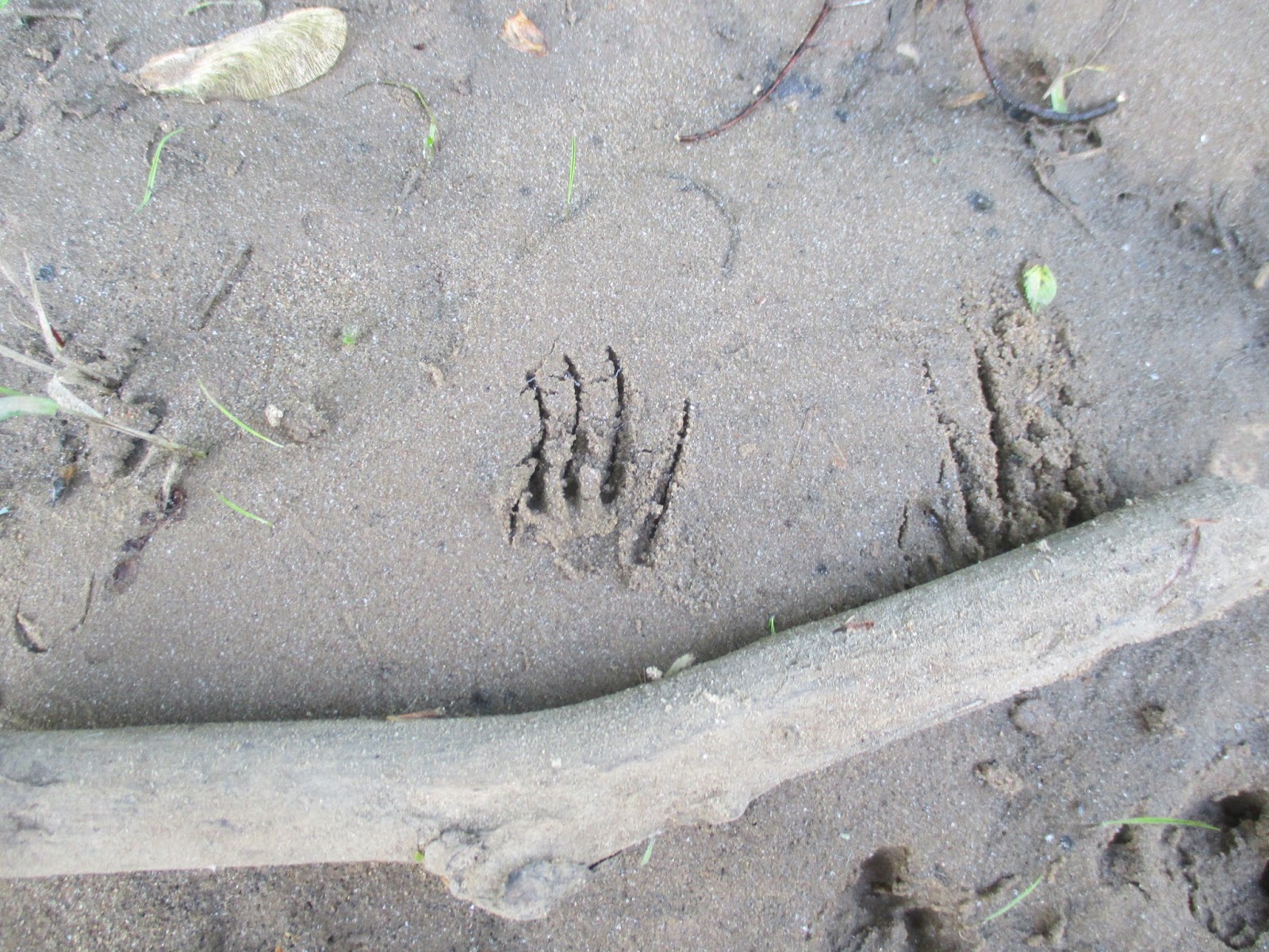
I couldn't resist wandering the banks, so I headed west, upstream, ducking under and over branches and trees along the bank, but occasionally wading into the water to get past the woody obstacles.  I spotted footprints from several animal species in the mud, but most of them were familiar to me.  Birds, deer, and squirrels made most of them.  Then I spotted an unfamiliar one.  An animal with small feet, with long claws had passed this way.  I'm certain it was an armadillo.  I crossed a gravel bar, more undergrowth, a sandy beach, and another gravel bar.  I finally decided to turn around.  As I made my way back to camp, I decided that the Buffalo River was way more amazing then I thought it would be.  I need to come back to float it to really understand more about it.  The biggest unexpected discovery though was that it flowed backwards.  In the maps I had looked at, I had always imagined that it flowed from east to west.  Nope!  It flows from the highlands in northwestern Arkansas before it joins the White River a ways downstream. 
Back at camp I made some breakfast, then quickly convinced four other adventurers to join me down at the river.   We hiked and explored along the bank and discovered animal footprints and mussel shells.  At a few sand and gravel bars we skipped rocks in the river, had competitions to make the biggest splash, tried to catch little minnows with our hands, and had a great time.  We wandered back to our camp.  At the boat ramp, there was a metal post firmly imbedded in the bank.  It had red paint at the top, yellow paint in the middle, and green paint near the ground.  It was a simple, yet effective stream flow meter to show paddlers the river level and amount of risk relative to the stream flow. 
We drove over to the Tyler Bend Visitor Center to see what was there and to stamp the kids' passport books.  There was a small visitor center with rangers working on installing a new deck.  We drove up to the Collier Homestead for a short hike. 
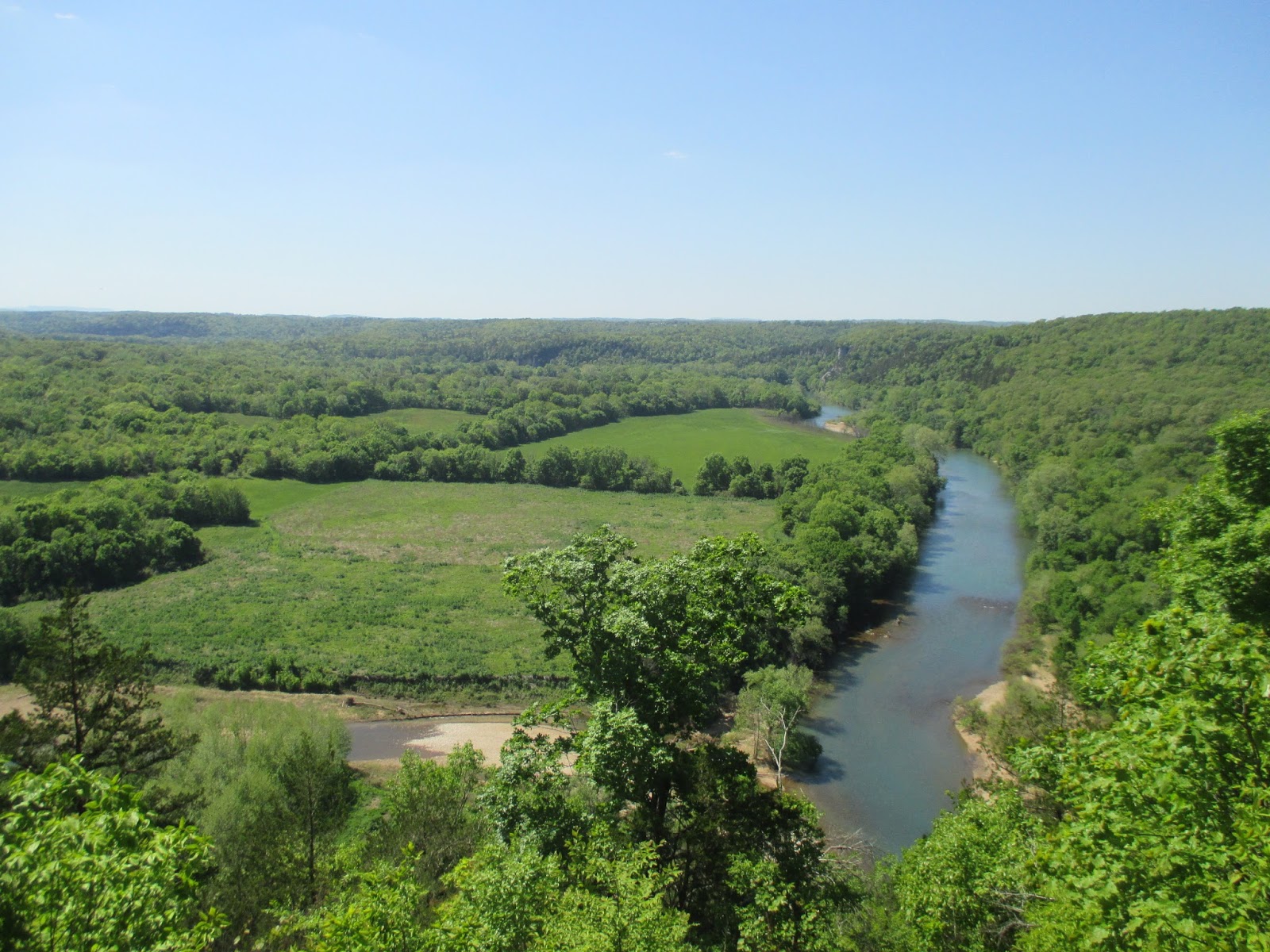
Less than a quarter mile past the homestead is a pretty good overlook over the Buffalo River.  We gazed off into the distance at the river, the forests, and the fields.  Wow it is beautiful here!  We took another trail back and quickly discovered that it was lined with poison ivy.  We carefully kept on going and made it back to the Collier Homestead without getting itchy. 
The forest trail sure was pretty, but the poison ivy did add some peril to it.  The stop at the Tyler Bend visitor center had left me wishing we had gone to Buffalo Point instead.  Buffalo Point would have been closer to where we camped, but it also has two other points of interest nearby- the Indian Rockhouse, a primitive cave dwelling, and an old mining town- the ghost town of Rush.  I'll have to come back to float the Buffalo River, and when I do I'll visit the other spots.  The small part I saw of the Buffalo River left me wanting more and beckons me to return.

Nearest City: Marshall, AR
Location: North central Arkansas
Time Needed: varies
Difficulty: varies
Kid Friendly: yes
Additional Info: Buffalo National River Website

An Evening Along the River in Little Rock

The Little Rock Skyline from the Clinton Presidential Park Bridge
One of the rangers at Little Rock Central High School NHS recommended that we stop by the nature center down along the river in downtown Little Rock as  a potential stop the kids might like.  We discussed the advantages (tire the kids out, we're already here) and disadvantages (we could put a lot of miles in toward the Buffalo River) and decided that stopping would be a good thing.  We're on vacation and can make our own schedule, so there's no need to rush things. 
We followed Rock Street north to the river, paid $5 for parking, then walked along the Arkansas River Trail a short distance to the Witt Stephens Jr Central Arkansas Nature Center.  The Nature Center was a good stop.  We learned about a lot of different things in Arkansas, including that alligators are native to parts of the state. 

There were lots of displays, including some live fish and reptiles.  I thought this albino gar was really awesome.   We enjoyed the nature center for about 30 minutes or so until they had to close.  They're open almost every day of the year and close about 5 pm.  It's worth a visit if you're ever in downtown Little Rock. 
We decided to spend a little more time and strolled on the Arkansas River Trail to the Presidential Park Wetlands, a short distance east of the nature center.   The wetlands trail had a boardwalk over some wetlands along the Arkansas River.  We saw fish, turtles, a snake, and ducks.  The kids kept trying to out do each other on the animals they spotted. 
Just up the hill from the wetlands is the Clinton Presidential Library.  We walked up to it, but the large animatronic dinosaurs out front were a quite intimidating to the kids.  We were there a little too late in the evening to go inside. 
We concluded that since we'd walked a little ways down the river trail, it would be great to make the rest of the loop as a way to tire the kids out before we drove north.  We crossed the Clinton Presidential Park Bridge, turned west on the north bank of the river, then took the Junction Bridge back to our car.  It was a great little loop, but and we succeeded in wearing the kids out.  The loop has some fantastic views of the Arkansas River and the Little Rock skyline.  There were a number of people walking, jogging, or biking- clearly it's a popular urban trail.
On the Junction Bridge, we were able to look down at a submarine, part of the Arkansas Inland Maritime Museum.  It was closed for the night, but was fun to look down on a submarine in a river.  It might be a fun stop too if we're ever back in Little Rock

Nearest City: Little Rock, AR
Location: 602 President Clinton Avenue, Little Rock, AR 72201
Time Needed: varies
Difficulty: easy- moderate
Kid Friendly: yes
Additional Info: